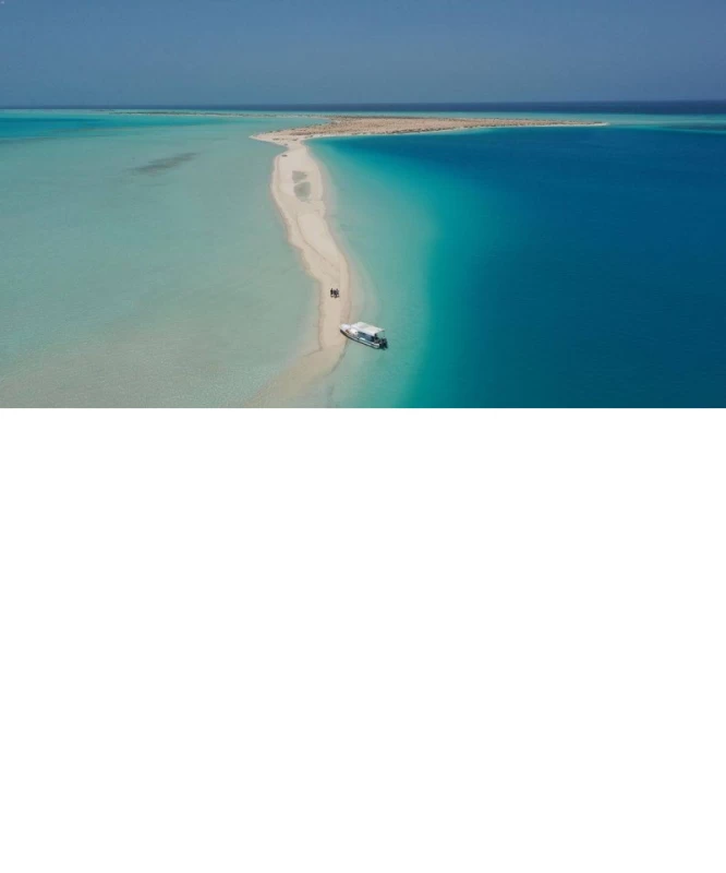
Regarding today’s sea conditions, the meteorological center predicted that surface winds in the Red Sea would move from northwest to north at 10-25 km/h in the northern and central regions, and from southeast to southwest at 12-35 km/h in the south, reaching 50 km/h toward the Bab al-Mandab Strait. The sea has small waves in the north and central areas, small to medium waves in the south, and waves undulate toward the strait.
The surface wind in the Arabian Gulf is from southeast to south at 15-35 km/h in the northern and central regions, and from northeast to east at 12-28 km/h in the south, reaching 50 km/h with the formation of rain and thunderclouds.The wave height ranges from 0.5 meters to 1.5 meters to more than 2 meters with the formation of rain and thunder clouds, and the sea conditions are as follows. Light to medium waves that reach a wave shape as thunderclouds form. rain.
Regarding today’s sea conditions, the Meteorological Center announced that surface winds in the Red Sea will be from northwest to north at 10-25 km/h in the northern and central regions, and in the south from southeast to southwest at 12-35 km/h, reaching up to 50 km/h towards the Bab el-Mandeb Strait. Wave height is expected to range from 0.5 meters to 1 meter in the northern and central regions, 0.5 meters to 1.5 meters in the southern region, and reach more than 2 meters toward the strait. Sea conditions are expected to be slightly choppy in the north and central regions, slightly choppy in the south, and rough toward the straits.
Surface winds in the Arabian Gulf are expected to move from southeast to south at 15-35 km/h in the northern and central regions and from northeast to east at 12-28 km/h in the south, reaching up to 50 km/h with thunderstorm cloud formation bringing rain. Wave height is expected to range from 0.5 meters to 1.5 meters, with cumulonimbus clouds reaching over 2 meters, and rain is expected. Sea conditions are expected to be rough with some waves and thunderclouds, and rain is expected.


